
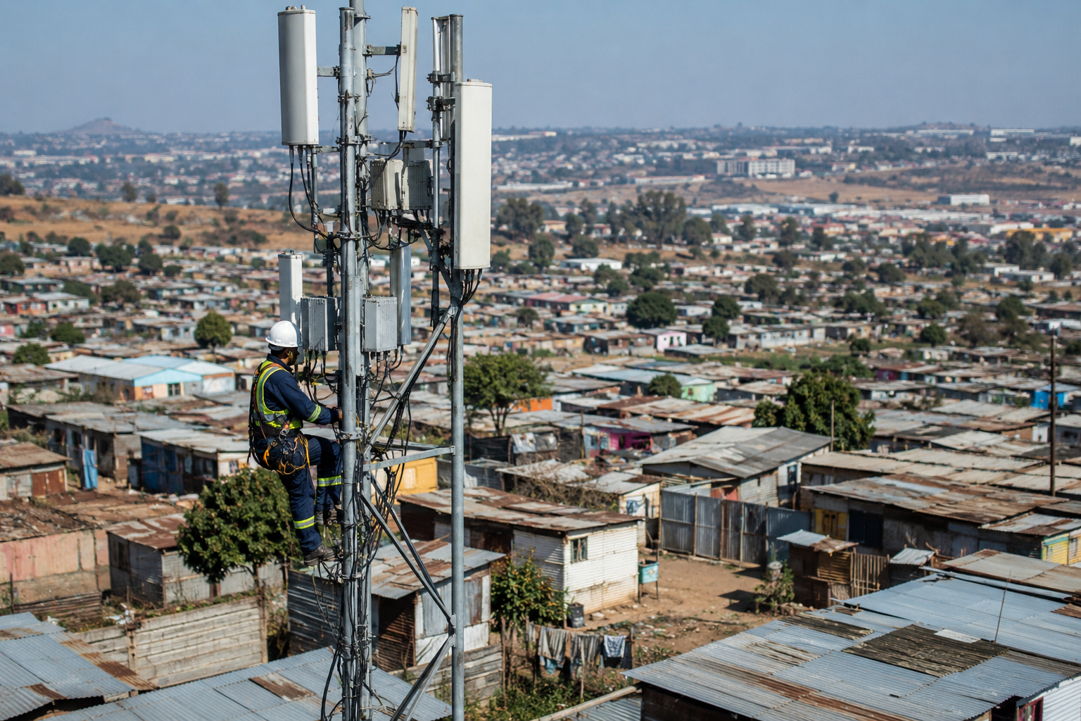
Inclusion and access for every settlement — and every organisation that serves it.
AddressMe makes informal settlements findable, reachable and understood. We collect structured, human-verified, GPS-documented and community-consented ground-level data and convert it into intelligence that connects residents to the services, deliveries, networks and emergency response they have been excluded from.
- Community research and validation underway
- Verified Contributor recruitment open
- Consented, GPS-documented data model
- Built for responsible community intelligence
…
Communities researched
Portions of settlements in Gauteng and North West
…
Verified records
Across the researched settlements
…
Organisations in market research
Telecoms, finance, logistics, NGOs and more
…
Verified contributors
Recruitment open — training pending
Figures update in real time as verified data is captured
About AddressMe
Built by people who know what it means to be unfindable.
Millions of South Africans live in settlements without street names, formal addresses or reliable maps. That gap locks residents out of emergency care, deliveries, banking and connectivity — and leaves organisations planning blind. AddressMe was founded in 2025 after winning the Wicked Innovation Labs Hackathon at World Product Day. The idea has since been researched and validated with informal communities in South Africa.
Our mission is inclusion and access: every settlement understood and reachable, and every organisation that serves it equipped with trusted, consented intelligence.
Step 1
Collect
AddressMe is recruiting future Verified Contributors from the communities they know. Once training begins, collection will require community consent, a photo and automatic GPS on every record.
Step 2
Structure
Every record is validated, timestamped, contributor-attributed and organised into seven intelligence categories, then enriched with AI analysis of the submitted imagery.
Step 3
Deliver
Organisations receive it as dashboards, maps, natural-language answers and formal reports — POPIA compliant, source-attributed and ready to act on.
Seven intelligence categories
Every record collected in the field lands in one of seven structured categories.
Geospatial Intelligence
GPS-documented structure locations, settlement boundaries and density layers where no formal mapping exists.
Population and Household Density
Structure counts, occupancy estimates and household composition that turn a settlement into a population picture.
Access Routes and Road Conditions
Which routes a vehicle can actually use, which are pedestrian only, and which are seasonally impassable.
Safety Risk Mapping
Community-reported risk points — unlit areas, flood and fire risk, dangerous entry points — mapped to coordinates.
Infrastructure Gap Analysis
Where water, sanitation, electricity, roads, waste and health facilities are missing, broken or overloaded.
Service Availability Index
What services residents can actually reach — clinics, schools, transport, retail, connectivity — and how far away.
Navigation and Landmark Data
Named landmarks, entrances and wayfinding references so a driver or responder can find a specific household.
Industries we serve
Each organisation sees the categories that matter most to its work first.
Telecoms
Density and coverage intelligence for network planning.
Know how many households sit inside a proposed tower radius.
Logistics
Route and navigation data for last-mile delivery.
See which routes a vehicle can use before the driver arrives.
Financial Institutions
Verified location and household context for inclusion.
Serve customers who have no formal address on record.
NGO and Development
Service gaps and community-reported needs, evidenced.
Target programmes with ground-level data, not estimates.
Government and Emergency Services
Access, risk and landmark data for response planning.
Reach a specific household in a settlement with no street names.
The Intelligence Platform
Intelligence Platform Portals
From field collection to AI-assisted answers and formal reports. Access is strictly role-based — you only ever see the data your role permits.
Admin Portal
Operate the platform: settlements, contributors, organisations, data quality, waiting list and reports.
Log inVerified Contributor Portal
Collect consented, GPS-tagged, photo-verified data on the ground from your phone.
Log inOrganisation Portal
Access dashboards, maps, AI answers and formal reports for your licensed settlements.
Log inAddressMe on your phone
Contributors and organisations can install the same secure platform from this website. Website and app records flow into one central Admin workspace.
Social and economic impact
Invest in the Verified Contributor community model
Support trains and hires community members to collect ethical, consent-led intelligence. Apply to donate or invest, or enquire before deciding.
Achievements & traction
Our traction and social impact
Recognition, media, events and community research since AddressMe began in 2025. Verified social-impact data will appear here as it is captured.
5
Communities researched
Updated from verified AddressMe records
50+
Verified records collected
Updated from verified AddressMe records
10+
Organisations in market research
Updated from verified AddressMe records
Pending
Verified contributors trained
Updated from verified AddressMe records
The team
Meet the AddressMe team
Based in South Africa.
Request access · join the waiting list
Organisations: tell us which settlements and categories matter to you and we will confirm your licence tier. Residents: register your interest in becoming a paid Verified Contributor for your settlement.
- Report, dashboard, API and custom tiers for organisations
- Paid, trained contributor roles for residents
- Source-attributed, POPIA-compliant data
Prefer to talk? info@addressme.net.za or WhatsApp +27 65 659 2969.
By submitting you consent to AddressMe storing these details to process your request, in line with POPIA.
Talk to us
Enquiries, partnerships, media and community requests.